State of INDIANA

Map outline of Indiana in red with the word 'INDIANA' above it.
A middle-aged woman with short, light-colored hair and a colorful scarf around her neck, smiling in front of a background with red lighting and signage.

Our Indiana State Leader

Lt. Col. Stacy Simpson

Email address: Stacy@WhiskeyUniv.com

For a link to Stacy’s page click link below

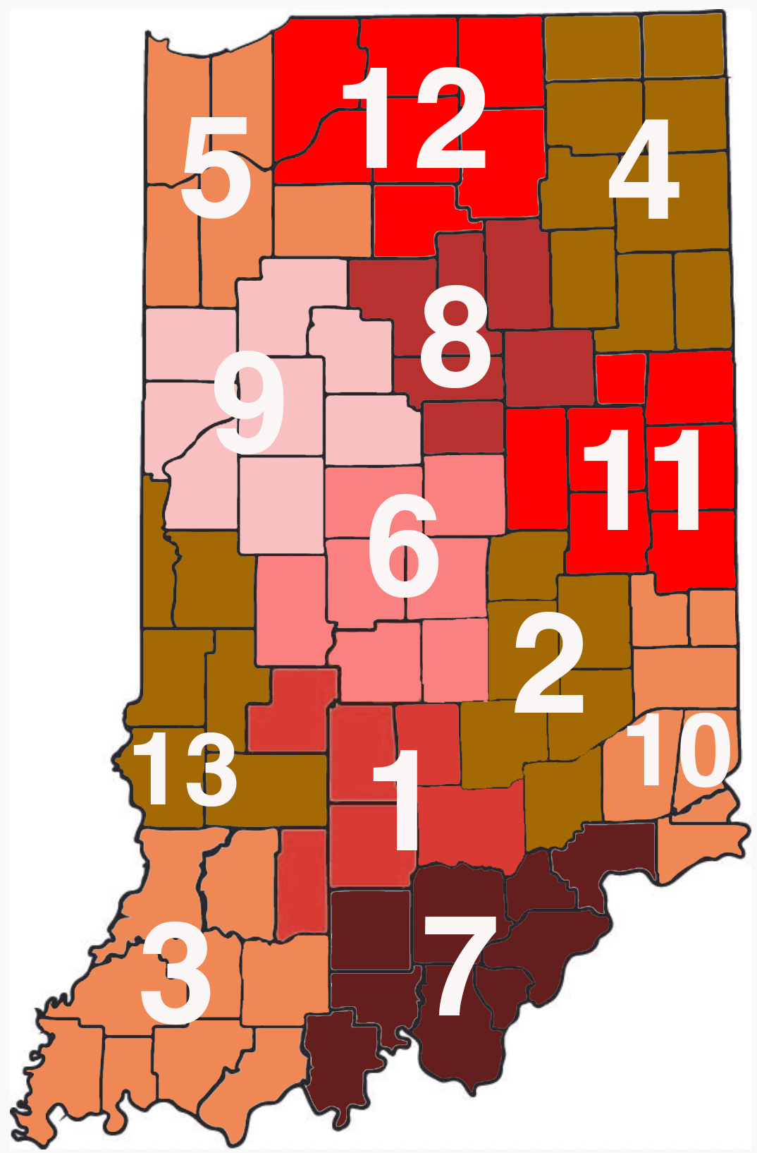
Click On Market Below To Find Local Instructors

Meet Stacy
1 - Bloomington metro area
2 - Columbus Metropolitan Area
3 - Evansville metro area
4 - Fort wayne Metropolitan area
A color-coded map of Indiana counties with overlapping, large white numbers indicating data points for each county.
5 - Gary Metropolitan Area
6 - Indianapolis metropolitan area
7 - Jeffersonville Metro Area
8 - kokomo - Peru metro area
9 - Lafayette Metro area
10 - Lawrenceburg Metro Area10 -
11 - Muncie Metropolitan Area
12 - SOUTH BEND METROPOLITAN AREA
13 - Terre Haute Metropolitan Area